


 PEOPLE can now take a virtual tour of a stunning coastal walk thanks to a project to capture the trail.
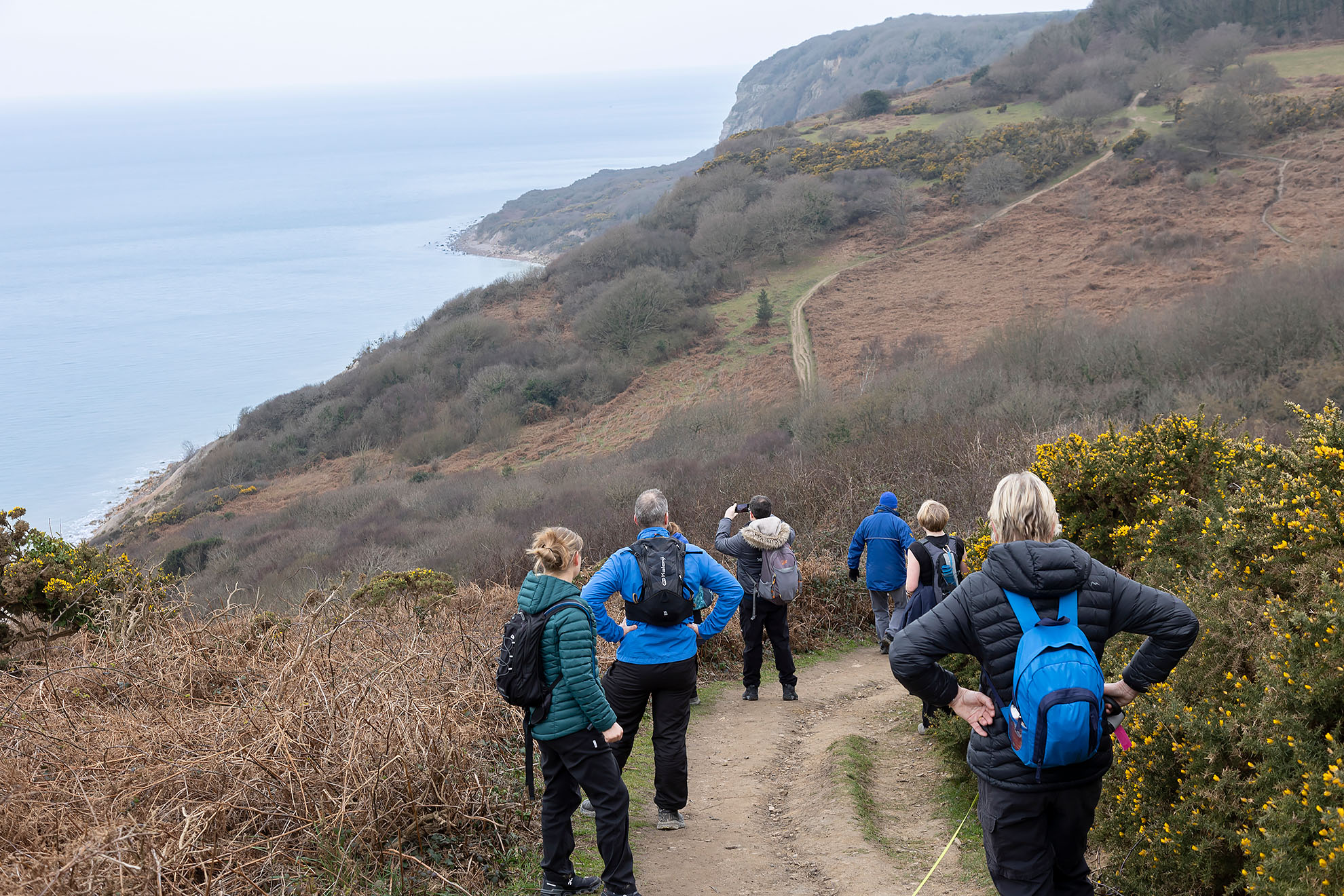
The south east section of the King Charles III England Coast Path National Trail, which runs from London to Brighton, can now be viewed on Google Maps and Mapillary.
The aim of the project, commissioned by East Sussex County Council and funded by a Defra Access for All grant, is to inspire people to explore the coast path and help them plan their visit by enabling them to check the accessibility of the trail from the comfort of their own homes, before heading to the coast.
It will also help enable businesses offering places to eat, visit or stay along the trail to promote themselves.
Cllr Claire Dowling, the county council’s lead member for transport and environment said: “This is a fantastic project which gives people a chance to sample the amazing scenery they can enjoy by walking or wheeling this trail, plan their stops and check the accessibility of the route.
“We want people to visit East Sussex and enjoy our stunning coastline, unique habitats and our rich history, and this project will make it even easier for people to plan a trip to coast to do so.”
A total of 77km of the King Charles III England Coast Path has opened in East Sussex since 2016, with the help of Natural England, East Sussex County Council, Lewes, Wealden and Rother district councils, Ramblers and Sussex Wildlife Trust. The remaining 11km section between Rye Harbour and Camber Sands is expected to open in 2026.
The path forms part of what will be the longest managed coastal walking trail in the world, when all 2,700 miles around the English Coast are open.
Mapping of the trail was carried out by representatives from WTI 360, who captured the entire length of the south east path, walking from the Thames Estuary to Brighton with their 360 camera.
Ends.